
Applications
The GIS Team at the City of Burbank has developed several web map applications for public access to our GIS information and data from our business systems. The applications work in a variety of web browsers and also on several mobile devices like tablets and smartphones. The goal of serving maps over the internet is to provide the public with easier access to citywide data.
Map Catalog
Listed below are maps that you can download and view on your computer or mobile device. All maps are in PDF format.
About
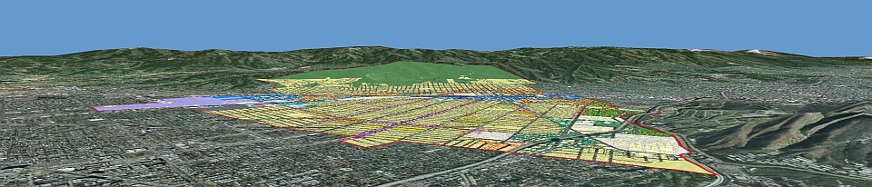
The City of Burbank has been using Geographic Information System (GIS) technology since the late 1980's. The system has grown into an Enterprise GIS which is integrated through the entire organization. City staff can manage, share, and use spatial data and related information to address a variety of needs, including data creation, modification, visualization, analysis, and dissemination. GIS represents the digital record of the City’s land base and utility networks including parcels, lot lines, electric, telecommunication, and water and sewer systems.
The GIS Team is part of the Information Technology Department and is responsible for providing technical leadership, planning and integration support, and citywide coordination of GIS projects. Additionally, GIS staff manages the GIS software and licenses, applications, databases, and educating City staff and the public on how to use the GIS tools available.